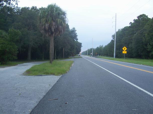
Above Left: Looking South towardĀa small turn-out
thatĀmay have been a small picnic area back when US 17 was the main north
south route for the area.
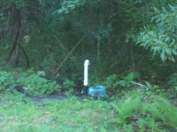
Above Right: A small Artesian well at the turn
out
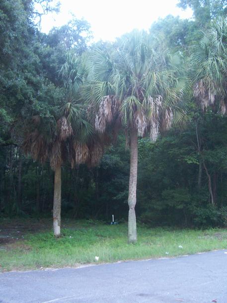
Left: Some Palm trees in the turn-out area.
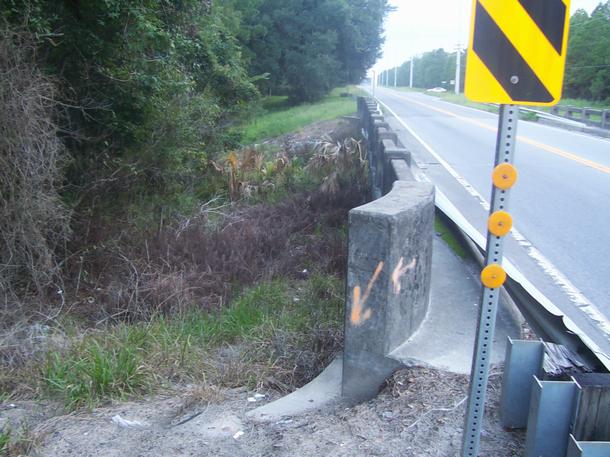
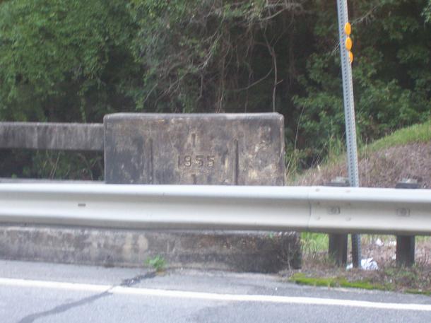
Below: The Footing of the bridge over Buck Swamp and
looking into the Swamp.